Cart

Press Enter / Return to begin your search.

The tremendous increase in demand for “pure fresh water” is among the most critical problems facing mankind today.

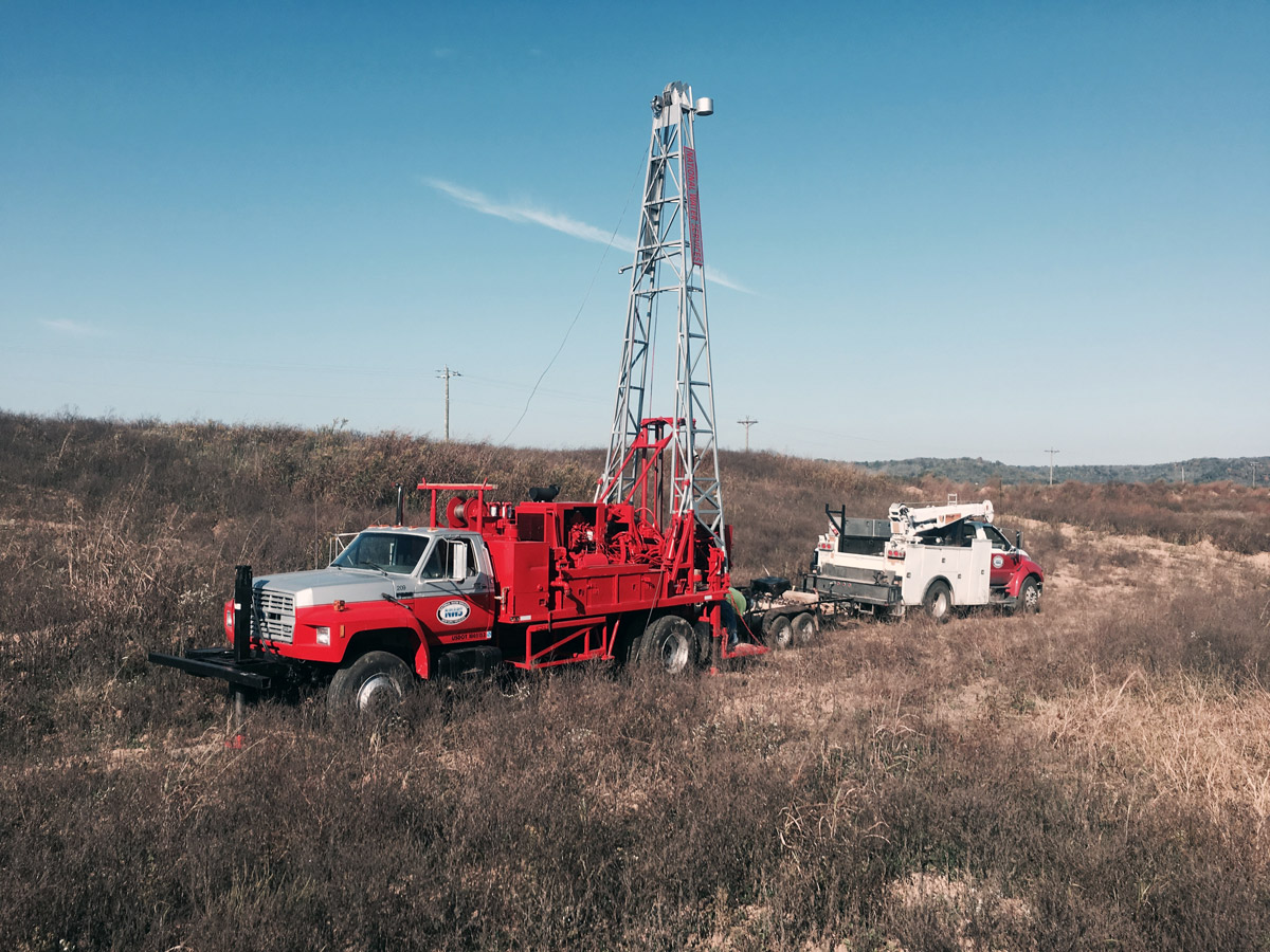
Some believe that fresh water will be a critical limiting resource for many areas in the near future. Almost 1/3 of the world’s population is living in an area that is under some type of water stress. In Asia, where water has always been regarded as an abundant resource, per capita availability declined between 40% and 60% from 1955 to 1990. Projections suggest that most Asian countries will have severe water problems by year 2025. It is a known fact that over 95% of the world’s fresh water supply consists of ground water and that less then 5% is surface water. A scientific approach by an experienced hydrologist is essential to any investigation searching for a potential source of ground water.
Geologic and Hydrologic Studies
The search for industrial and municipal ground water begins with a review of existing published literature and well logs, which are gathered from state and federal agencies. Topographic, Geologic, and Hydrologic maps are studied and compared with existing information to select a specific test drilling site.

Geologic and Hydrologic Studies

Fracture Analysis
When the unconsolidated materials overlying bedrock are unsuitable for development of ground water supplies, the bedrock itself may be used as an aquifer. Most bedrock does not yield sufficient quantities of ground water due to low primay permeability (the pore spaces between the rock grains.) However, the bedrock may be highly fractured along linear zones, creating a high secondary permeability and rendering the bedrock capable of yielding large amounts of ground water. These fracture zones, or lineaments, act as natural conduits for ground water movement and store large quantities of ground water. Therefore, drilling within a lineament system greatly improves the water potential of normally low-yield rocks.

Fracture Analysis

Exploratory Drilling
After preliminary evaluation of all available hydrologic and geologic data, specific sites are selected for test drilling. Small diameter test wells are drilled, and then converted to observation wells for use during aquifer testing. Test results from this program are collected and correlated for further evaluation of the static water level, thickness, and ground water bearing properties of each geologic unit. Additional data may be gathered by using geophysical techniques.

Exploratory Drilling

From this, a larger test well may be drilled for aquifer analysis. This well may become a permanent monitoring point or be converted into a production well. Drilling in shallow, unconsolidated formations may be accomplished by use of an auger drill. Formation samples are taken from the test well at regular intervals by split spoon sampling techniques. These samples are inventoried and described by drilling personal that assemble all data gathered during drilling into a driller’s log.

Aquifer and Water Quality Analysis

Aquifer and Water Quality Analysis
Analysis of the water within an aquifer starts with specific information gathered on existing production wells. Slight changes in water quality over a period of time may act as a warning signal to contaminants entering the well field. From previous records and from water samples taken from test borings, a detailed study may be made. This aids site selection for production wells and insures the integrity of a new well field.
Aquifer Evaluation
Test pumping one or more test wells yields valuable data concerning the overall capabilities of the aquifer test are designed to stress the aquifer’s production capabilities, insuring correct design and placement of permanent production wells.

Aquifer Evaluation

When a well is pumped, the water table is lowest in the vicinity of the pumped well and highest at some distance away. This forms a cone of depression or a “circular” depression in the water table. Small diameter wells called piezometers are used to measure the decline of the water table. This information is recorded and later plotted on semi-log graph paper. Interpretation of these data can define certain mathematical characteristics connected with the geologic formation which suggest the amount of ground water that can be safely pumped from aquifer.

Water Well Design and Specifications

Water Well Design and Specifications

Well site selection
Correlation of data gathered from the hydrogeologic investigation, test boring, water quality analysis, and aquifer evaluation enables specific site selection for permanent production wells. There can be relationship between existing production wells to a proposed well site. If the new is too close to existing production wells, interference between these wells could result in diminished yields, greater drawdown, and maintenance. Proper well spacing in relation to know areas of recharge is important factors taken into consideration prior to drilling a new production well.
Design and Specifications
Because of the broad variation in lithologies and saturated thickness, each well must be tailored to the individual site for maximum productivity. Utilization of small diameter test wells, sand analysis curves, driller’s log, and hydrogeology determinations by our geologists enables a selection of a good well design in an area thought to have the best potential for ground water resources. Sand analysis is a technique used to design high yield production wells in sand and gravel formations. A geologist physically inspects each sample along with the driller’s log. From this, the best formation intervals are selected for further test and evaluation. This method is based on the weight of each segregated sand sample by grain size. The grain size-weight figure is converted to a percentage figure that can be plotted on graphed paper. A series of curves results thereby enabling National Water Services, LLC to design the best possible production well screen for each specific hydrogeologic situation. Proper well design insures the highest possible yields.